The stack
One river, eight years.
A hydro dam and its new reservoir on the Peace River in northeast British Columbia: 250 km², read in 2017 and 2025.
Sentinel-2 · Sentinel-1 · Copernicus DEM
Industry · Infrastructure
Dams, roads, rail and utility networks change the ground around them for years. The same engines measure what moved, what flooded and what was cleared, and send an engineer to the part that needs eyes.
56.20° N · 120.97° W · 250 km²
The stack
A hydro dam and its new reservoir on the Peace River in northeast British Columbia: 250 km², read in 2017 and 2025.
Sentinel-2 · Sentinel-1 · Copernicus DEM
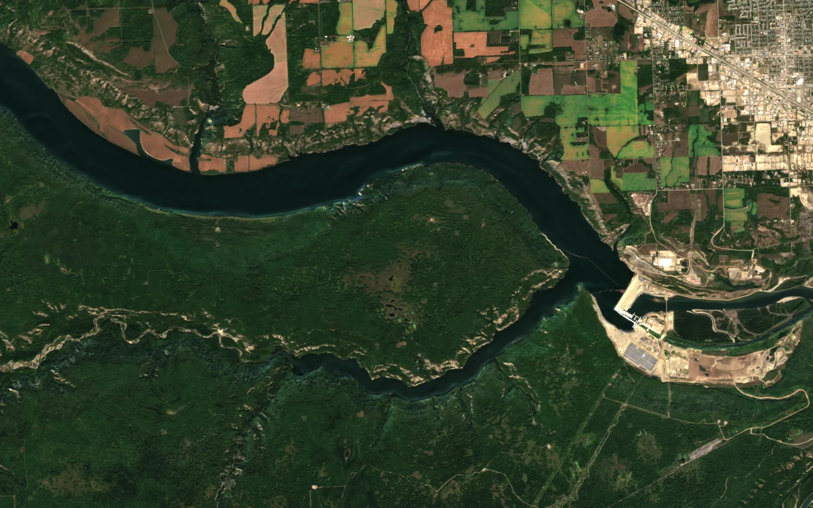
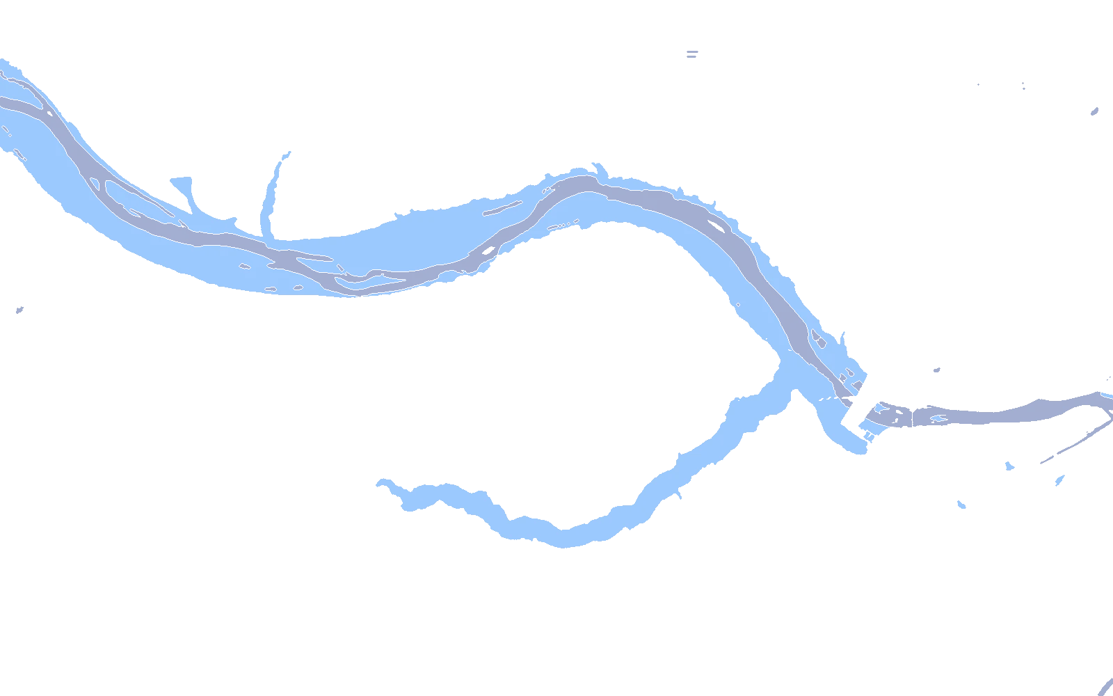
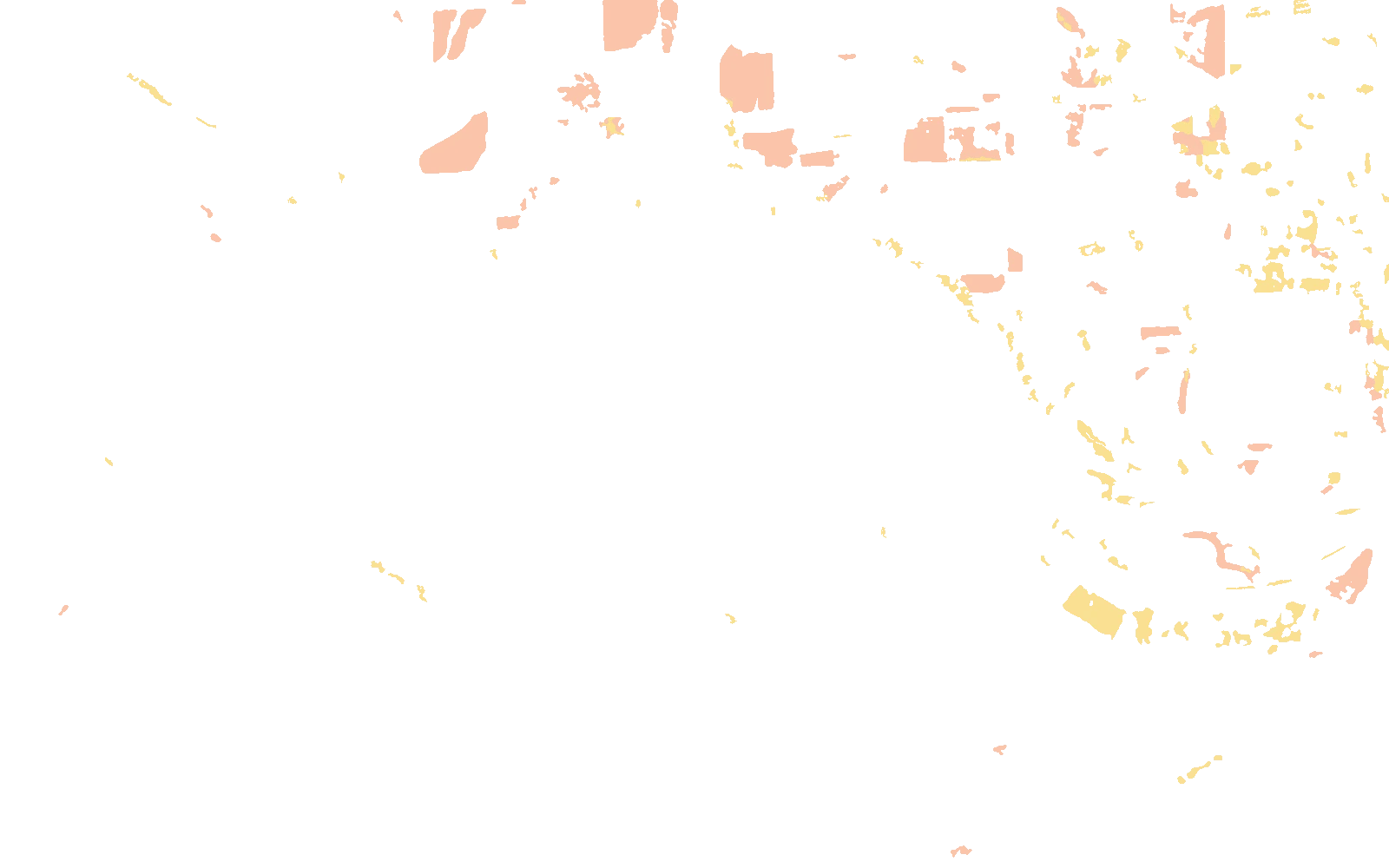
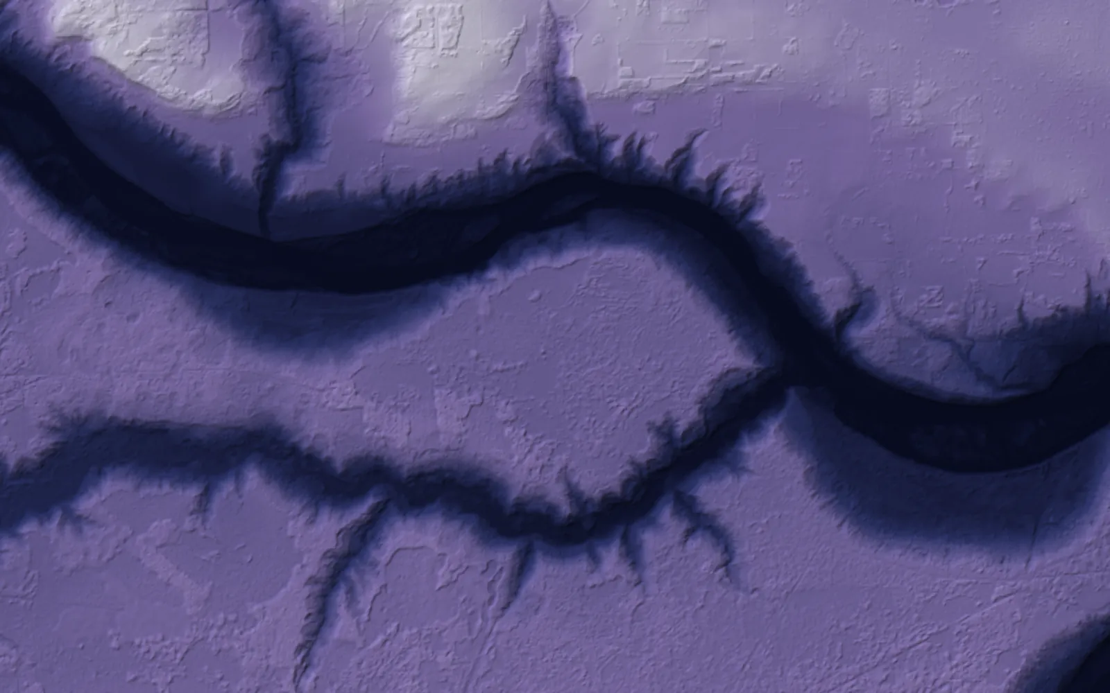 Terrain
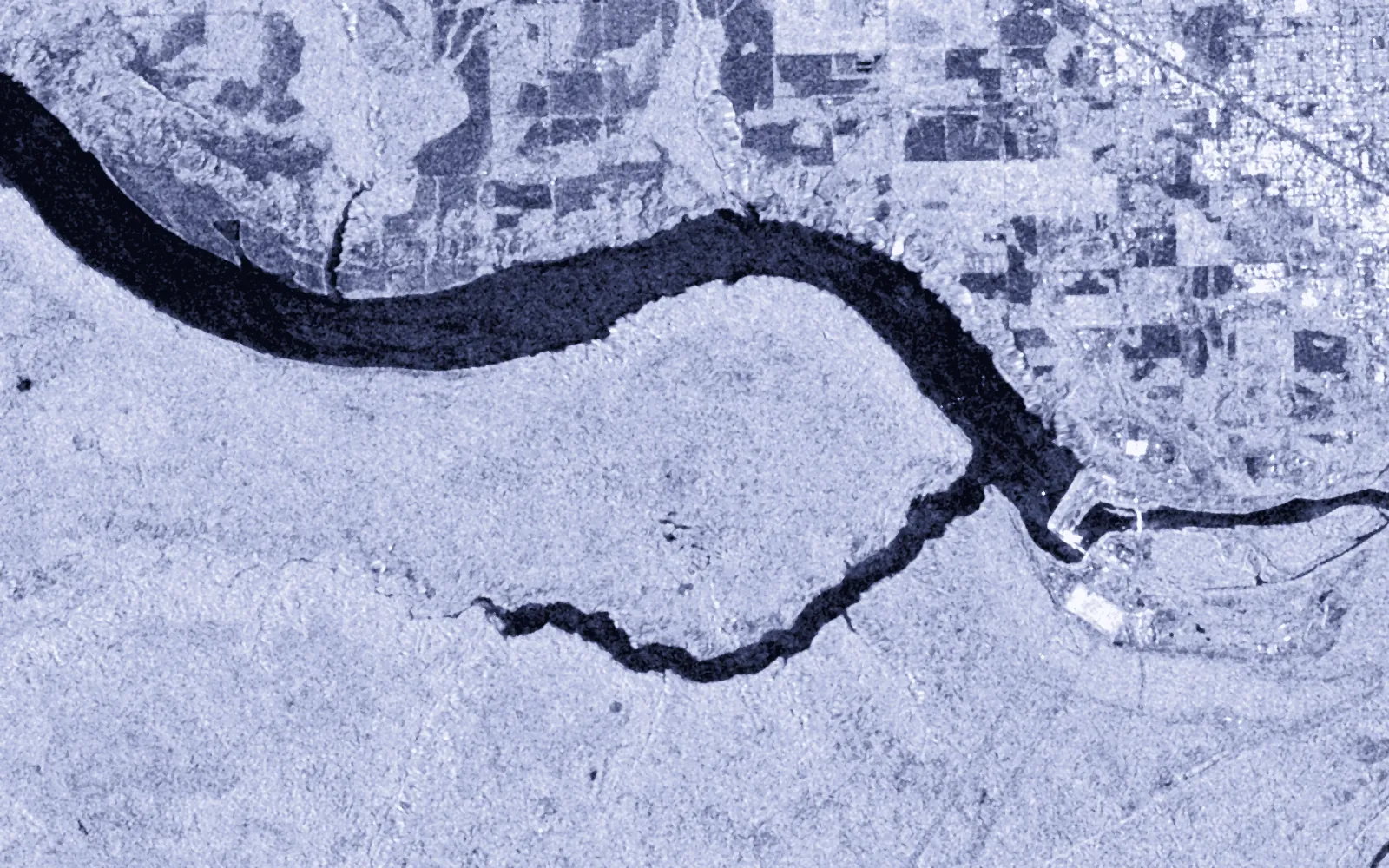 Radar2025
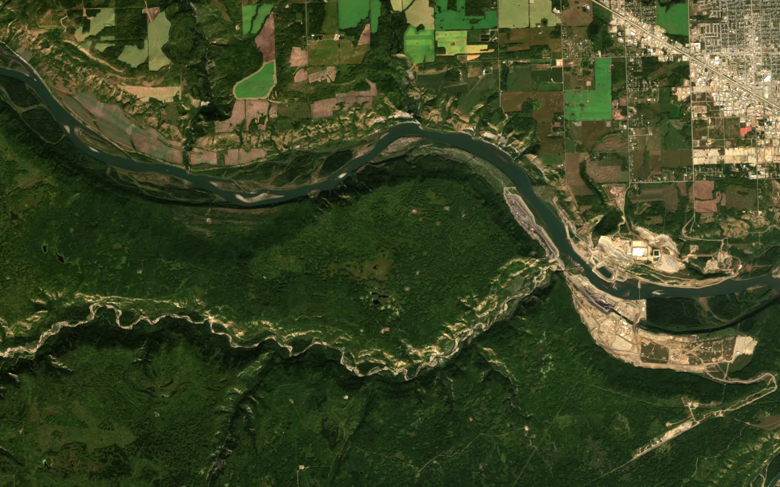 2017

Contains modified Copernicus Sentinel data (2017, 2025). Copernicus DEM GLO-30, provided under COPERNICUS by the European Union and ESA.
Real
Every layer is public Sentinel-2, Sentinel-1 or Copernicus terrain data over a public hydro project. New water, cleared ground and the flagged shoreline are computed by a script in this site's repository.
Illustrative
The project is a public example, not a client. The shoreline check is the action an engineer would take next, not a finding about the owner.
Each product below works on infrastructure today. Atlas is the engine they share.
Two dates, three signals, one polygon per change, each with an area and a reason.
OpenOld as-built drawings and parcel sheets placed on the satellite frame, with most control found from the roads.
OpenWater, wastewater and utility networks on one map, from SPARC's delivered work.
The engine under every product: fusion, registration, detection, and an agent on the map.
OpenUse cases
Numbers from real runs, each with the caveat it needs. Nothing here is a claim the run did not make.
Computed on this page from public imagery, 2017 against 2025.
In 9 countries, from the group brochure. The group is distinct from SPARC Global, its Canadian entity, which has a core team of 20.
Every layer is warped to the same cells before anything is compared.
Open any part for the method, the numbers and where to read more.
SPARC's group has delivered utility asset management for water and wastewater networks: intakes, pump houses, treatment plants, mains, wells, reservoirs, valves and manholes, mapped from high-resolution imagery, survey-grade GPS and mobile collection.
The same offer covers estate and infrastructure management, smart-city data infrastructure, and transport permits and routing.
Public figures on the size of the problem.
The SPARC group has worked with governments for about 30 years, with about 600 deployments in 9 countries.
Source: industry research (SPARC group brochure)Infrastructure · Next step
Send an area and a question. I will say what the sensors can and cannot answer before anyone builds anything.