The stack
One suburb, six years.
Farmland turning into neighbourhoods east of Vancouver. 160 km², read in 2018 and 2024 by optical and radar.
Sentinel-2 · Sentinel-1
Industry · Government
Planning and permits with a record that does not get rewritten. GovScope proposes, a planner signs off, and old parcel sheets land on the same map through automatic registration.
49.14° N · 122.65° W · 160 km²
The stack
Farmland turning into neighbourhoods east of Vancouver. 160 km², read in 2018 and 2024 by optical and radar.
Sentinel-2 · Sentinel-1
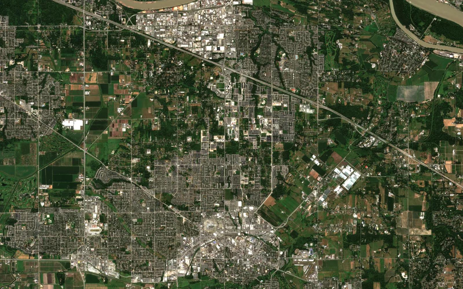



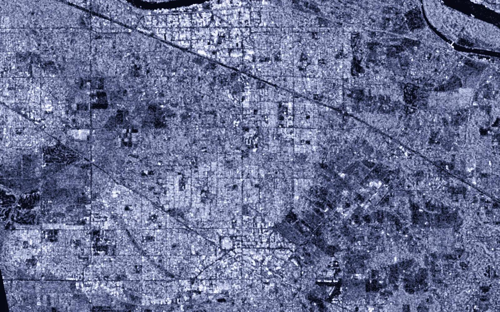 Radar2024
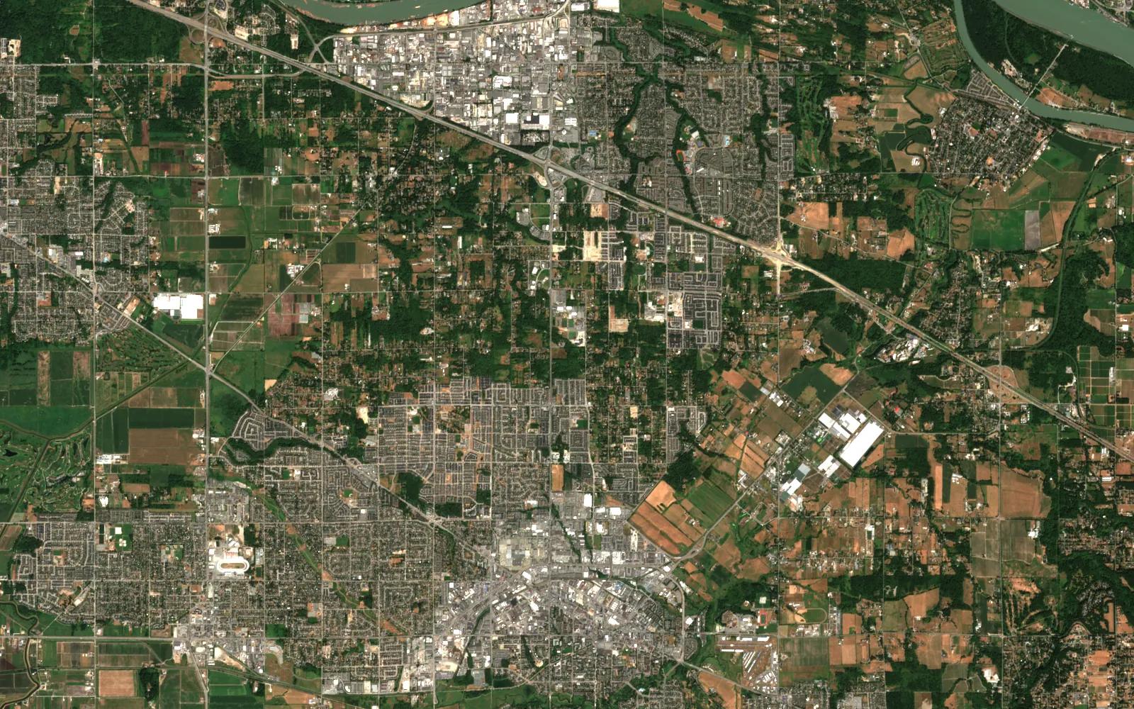 2018

Contains modified Copernicus Sentinel data (2018, 2024).
Real
Every layer is public satellite data over a public suburb. Green loss, new structures and the cluster are computed by a script in this site's repository.
Illustrative
The city on this page is a public example, not the client. The permit check is the action GovScope would propose, not a result from that city.
Each product below works on government and municipal today. Atlas is the engine they share.
Permits and planning for a large Canadian city: planner sign-off on every AI result, a kill switch, and a full audit trail.
Scanned parcel maps placed on the satellite frame automatically, and refused when the fit is poor.
The engine under every product: fusion, registration, detection, and an agent on the map.
OpenNumbers from real runs, each with the caveat it needs. Nothing here is a claim the run did not make.
Internal measurement on one golden run. The in-sample figure is lower and never quoted.
A cold job takes about 75 minutes on one GPU.
Beyond that it stops and asks.
Open any part for the method, the numbers and where to read more.
The scanned sheets become a parcel graph: text masked out, ink skeletonised, junctions found. The satellite side becomes a road graph. A dense matcher searches zoom levels for a coarse fit, and the fit is scored by leave-one-out error, never in-sample.
A seed that fails the gate is refused, and a recovery search over cluster shapes takes over. The pipeline fails closed.
Every file is still checked against the by-law, but by a planner reading a pre-checked file with the gaps already marked, instead of finding them weeks later.
Government and municipal
Product screens from the cleared bundle. Names and accounts are painted out.
Public figures on the size of the problem.
Municipal permit volumes range from under 500 a year in a small town to more than 3,000 in a large city, and every file is checked against the by-law by hand.
Source: industry research (2024 municipal reports)Government and municipal · Next step
Send an area and a question. I will say what the sensors can and cannot answer before anyone builds anything.