P.01
MineScope
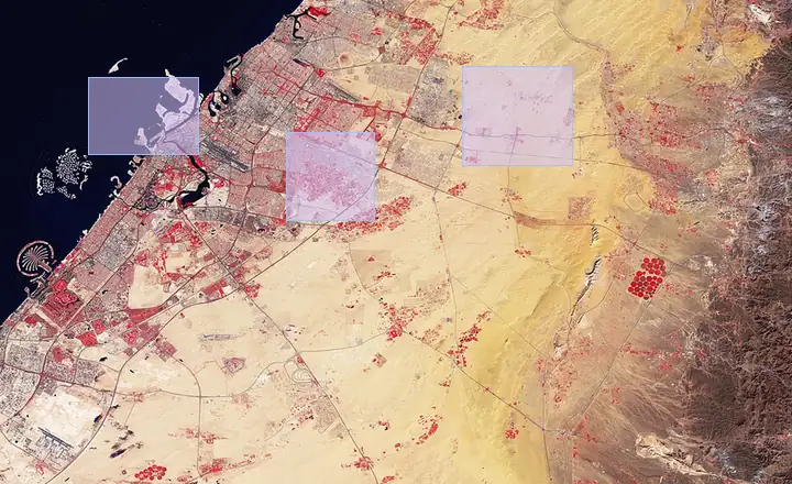
Satellite watch on a mine. A new cut, a stockpile, a road that was not in the plan, a volume estimate, and ground worth a closer look.
For mine operators and the public bodies that oversee them.
Products
TerraScope is the suite. Atlas is the engine under it. Each entry is a product a person can use. The engines are on Platforms.
P.01
Satellite watch on a mine. A new cut, a stockpile, a road that was not in the plan, a volume estimate, and ground worth a closer look.
For mine operators and the public bodies that oversee them.
P.02
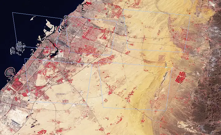
Crop type, acreage, and stress, from a stack of satellite passes. A parcel with weak evidence goes to a person.
For a national land and crop program.
P.03
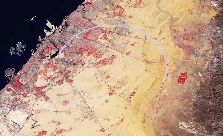
A daily fire-risk score, a hotspot when one starts, and a perimeter and a damage read after. Biomass and carbon from the same imagery.
For a public forest agency.
P.04
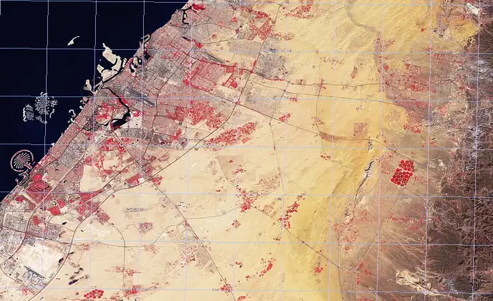
Scanned parcel maps almost never sit on the satellite frame. The pipeline finds the control, warps the sheet, and drops the result when the residual is too high. It fails closed.
For a land-records archive.
P.05
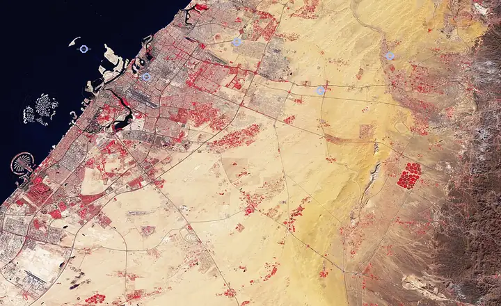
One maritime picture. Ship tracks, radar, optical frames, air tracks, depth, radio, and drone stills. Each output keeps the source it came from.
For a defence agency of a G7 government.
Performance figures for this system stay off this page.
P.06
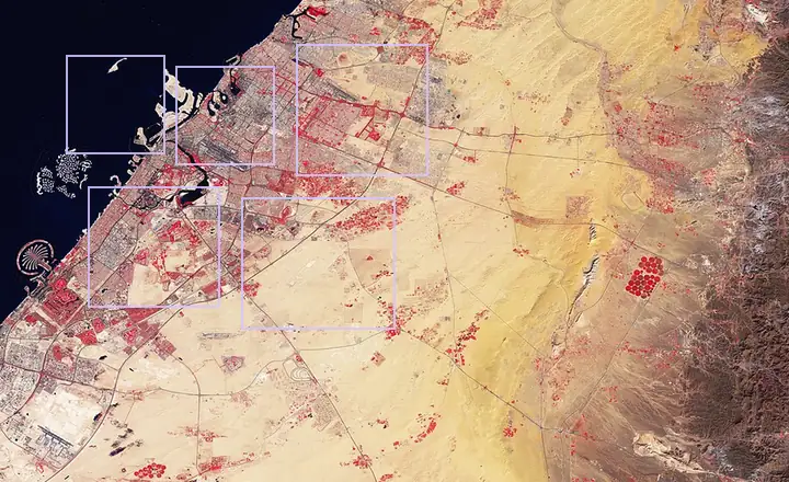
Planning and permits with a record that does not get rewritten. What changed, who changed it, and when.
For a large Canadian city.
P.07
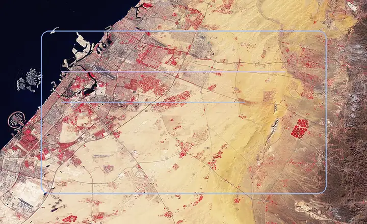
An agent that reads an organization's own files and drafts from that evidence. The source stays attached to the sentence.
For enterprise bid teams.
Image slot
DYNE platform screenshot
P.08
The restaurant and retail system from the record above. Demand, price, staffing, and the campaign, sold as a product, then exited.
A company I co-founded.
Image slot
DYNE collage or traction slide