The stack
One harbour, two sensors.
The anchorages off Vancouver: 160 km² of water and shore, seen by optical and radar on the same day.
Sentinel-2 · Sentinel-1
Industry · Maritime
Ship tracks, radar, optical frames, air tracks and radio, on one grid and one clock. DefenseScope gives the watch a short list, and nothing goes above Advisory until two independent sources agree.
49.31° N · 123.13° W · 160 km²
The stack
The anchorages off Vancouver: 160 km² of water and shore, seen by optical and radar on the same day.
Sentinel-2 · Sentinel-1
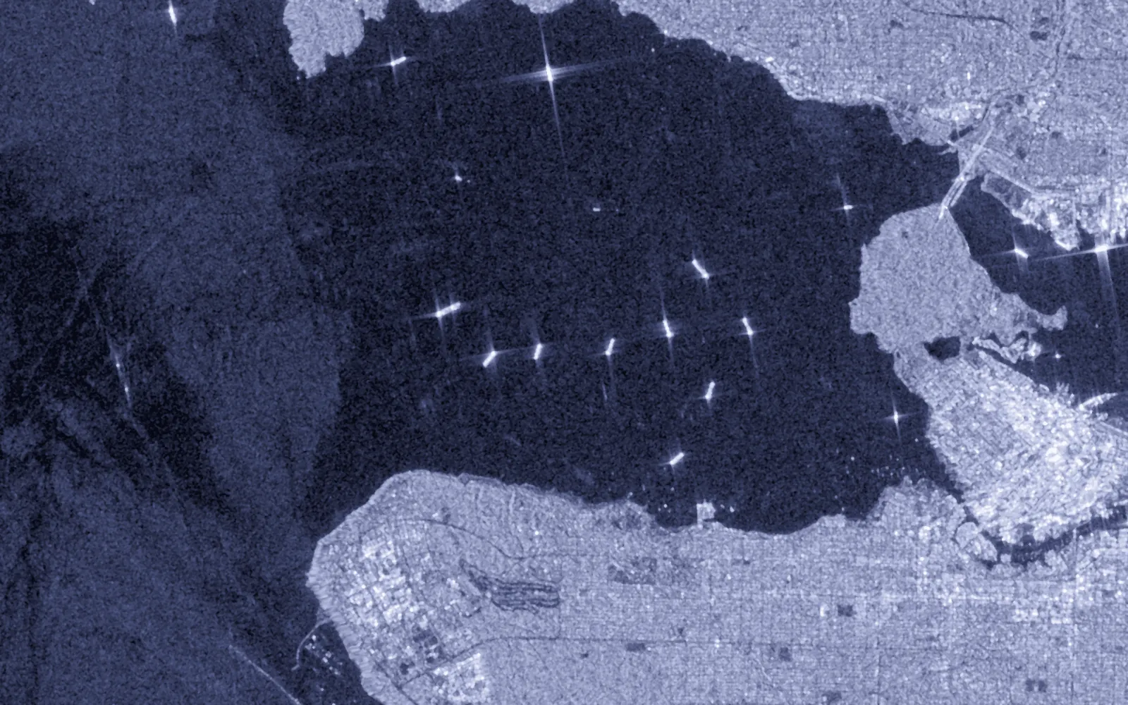
 Radar
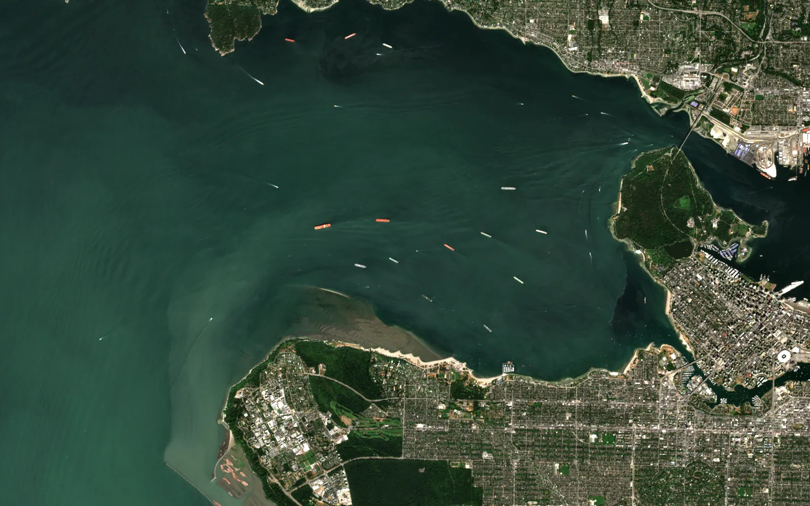 Optical
Contains modified Copernicus Sentinel data (2024).
Real
Every contact on the scene is a real detection from public radar and optical passes, 17 hours apart. No ship identities are used.
Illustrative
The detector is a simple public stand-in for the product's. The DefenseScope screens use open data with synthetic identities, as cleared.
Each product below works on maritime and defence today. Atlas is the engine they share.
Sea, land and air watch for a defence agency of a G7 government. Every alert opens to the evidence behind it.
The engine under every product: fusion, registration, detection, and an agent on the map.
OpenUnattended sensor nodes and an edge appliance for networks that drop. Designed and simulated.
OpenNumbers from real runs, each with the caveat it needs. Nothing here is a claim the run did not make.
The rule, not a performance number. Performance figures for this system stay off this site.
Ship reports, radar, optical, air tracks, depth, radio and drone stills among them.
Accept, question or reject lands on a hash-chained audit trail.
Open any part for the method, the numbers and where to read more.
Every contact lands on one grid and one clock. Identity lives in a graph, and every join keeps its reasons. A detector proposes; the case file shows which sensors agree and what the system cannot see.
The officer accepts, questions or rejects. A question keeps the case open and asks another unit to check.
Maritime and defence
Product screens from the cleared bundle. Names and accounts are painted out.
Public figures on the size of the problem.
Canada has the longest coastline of any country, watched in part by the three-satellite RADARSAT Constellation launched in 2019.
Source: industry research (Government of Canada)A record 4,466 small satellites were launched in 2025, and more than 6,500 Earth-observation satellites are expected in orbit by 2035. Collection is outrunning the people who read it.
Source: industry research (BryceTech; Novaspace)Maritime and defence · Next step
Send an area and a question. I will say what the sensors can and cannot answer before anyone builds anything.