The stack
One fire, five witnesses.
A summer 2023 fire above Okanagan Lake. 250 km², read before, during and after.
Sentinel-2 · Landsat 9
Industry · Wildfire
Detect, confirm, forecast, alert. Cascade opens an incident only when two independent signals agree. ForestScope reads risk before the season and damage after it.
49.94° N · 119.59° W · 250 km²
The stack
A summer 2023 fire above Okanagan Lake. 250 km², read before, during and after.
Sentinel-2 · Landsat 9
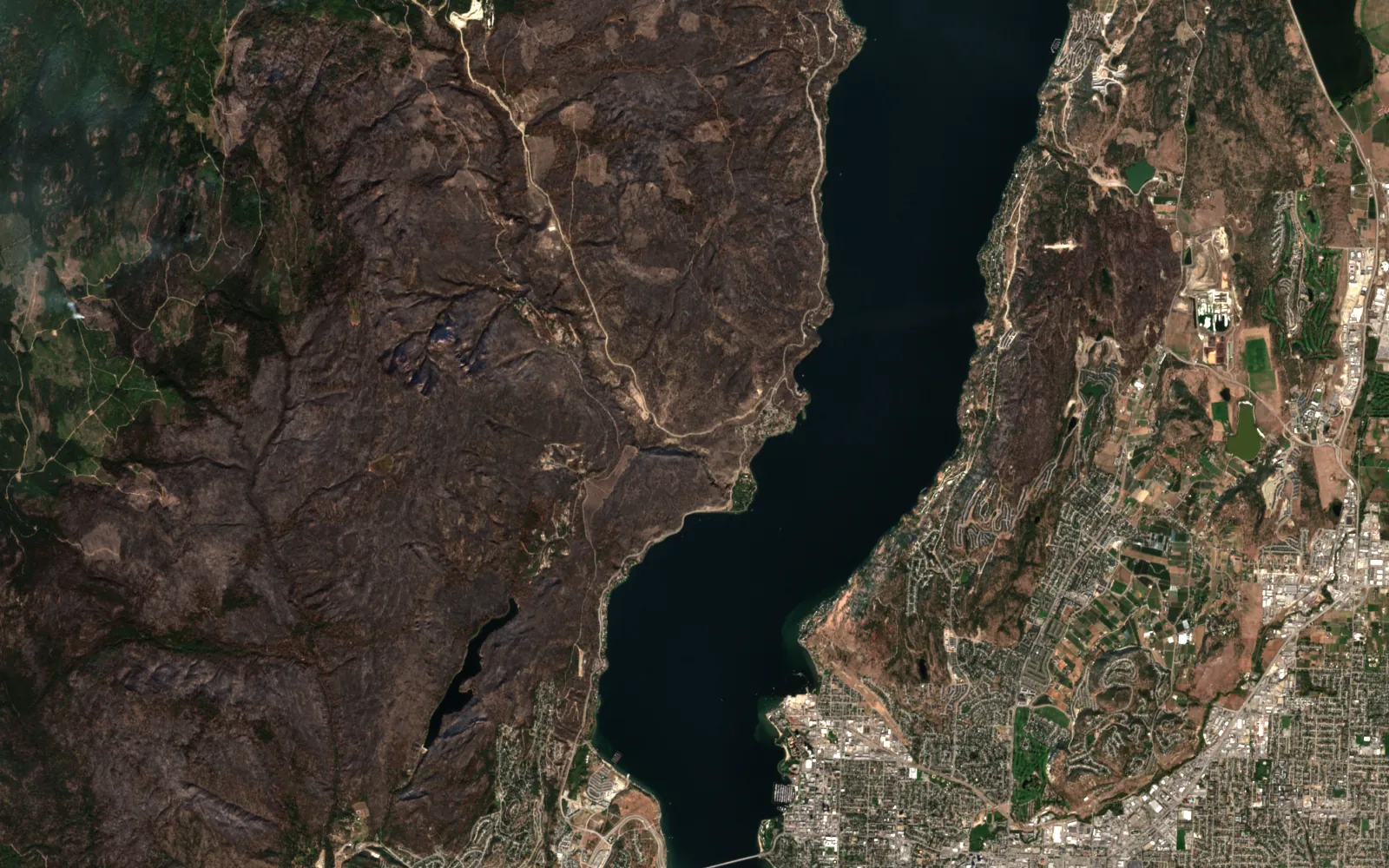
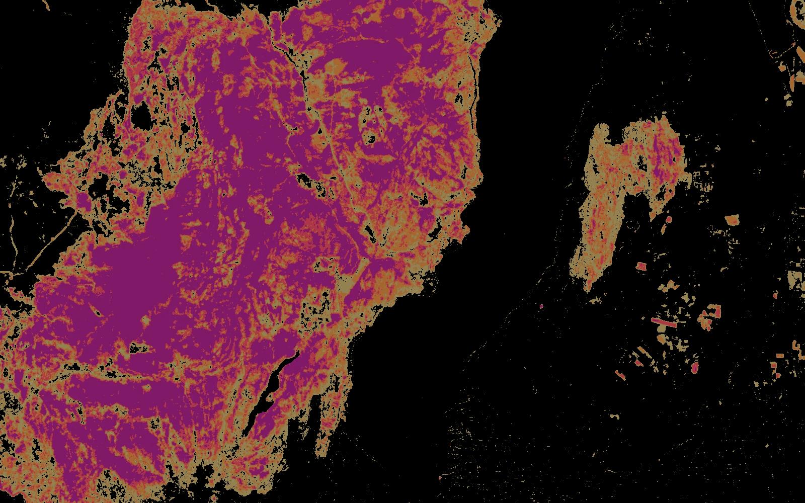 After
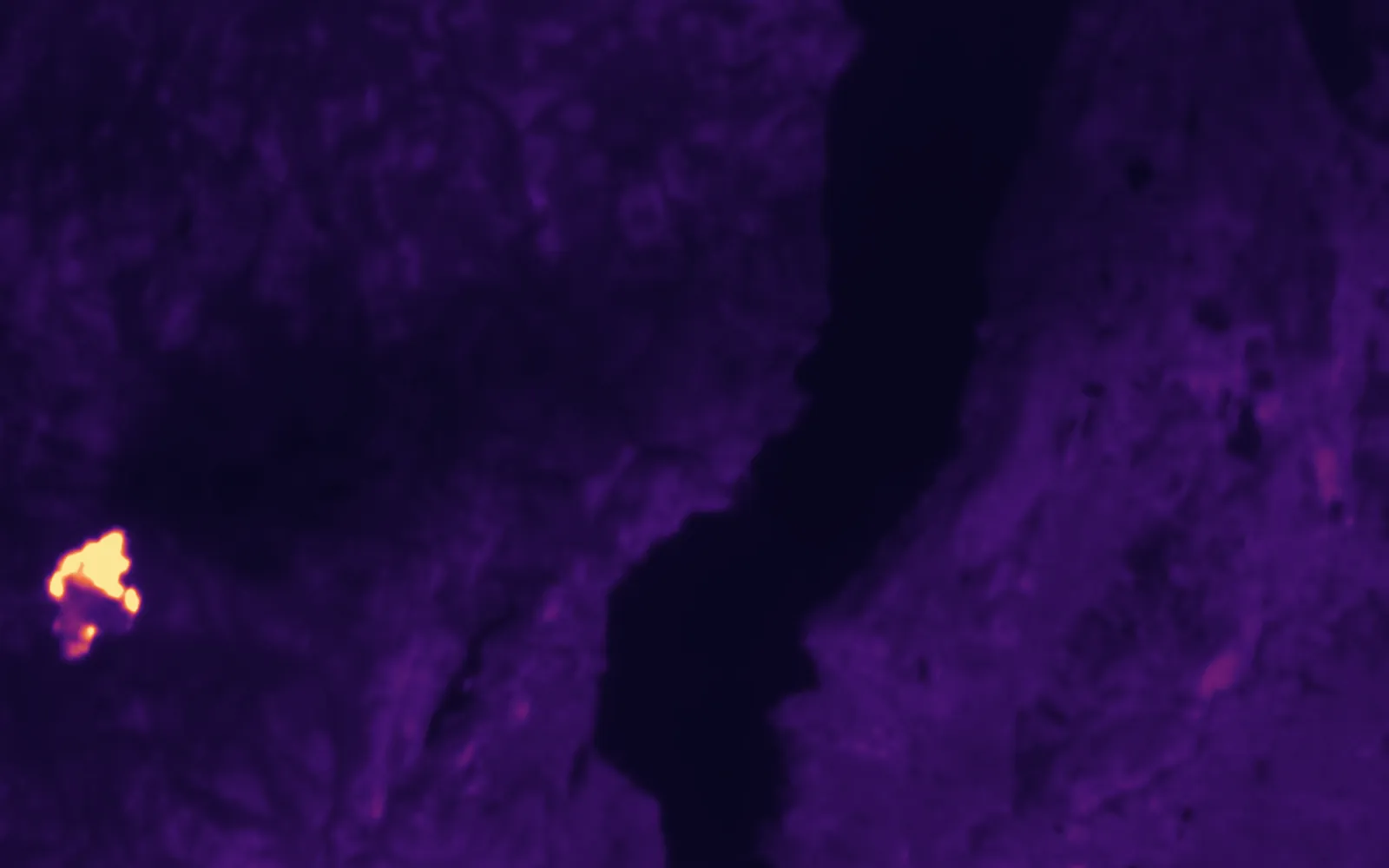 Heat
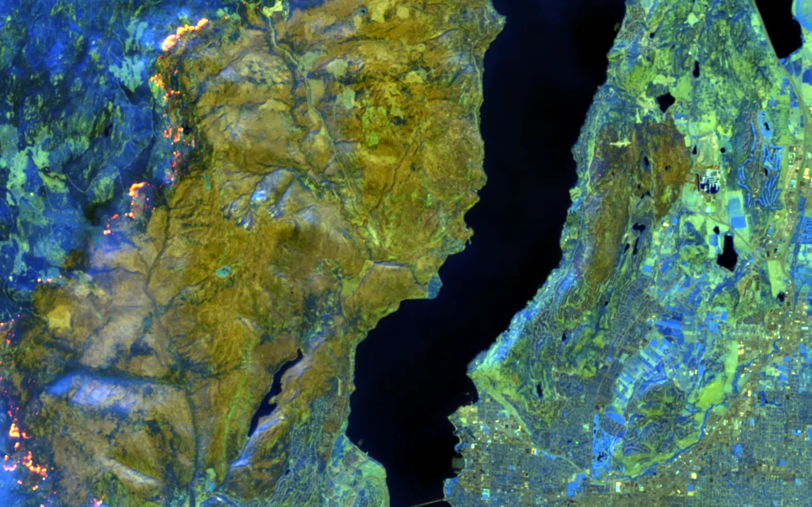 Shortwave
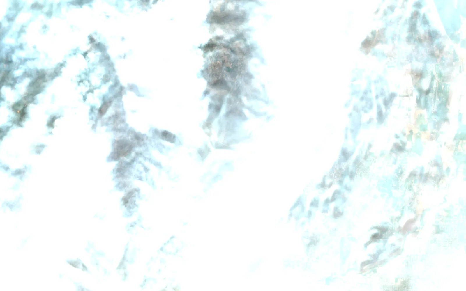 Smoke
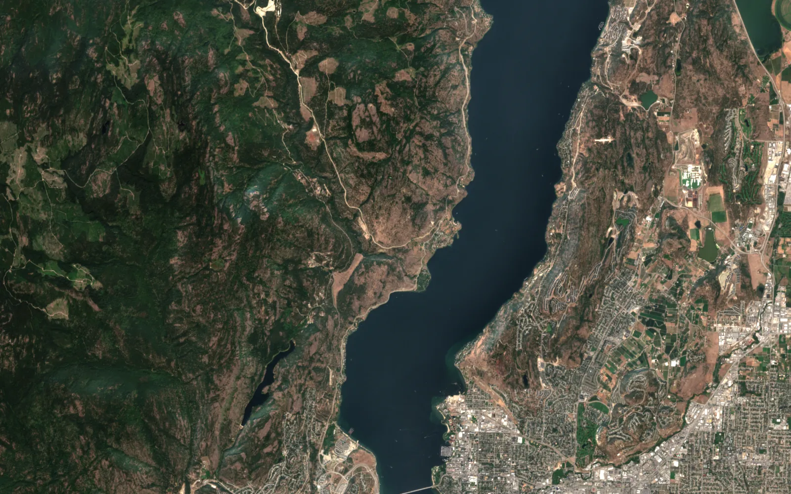 Before
Contains modified Copernicus Sentinel data (2023). Landsat 9 courtesy of the U.S. Geological Survey.
Real
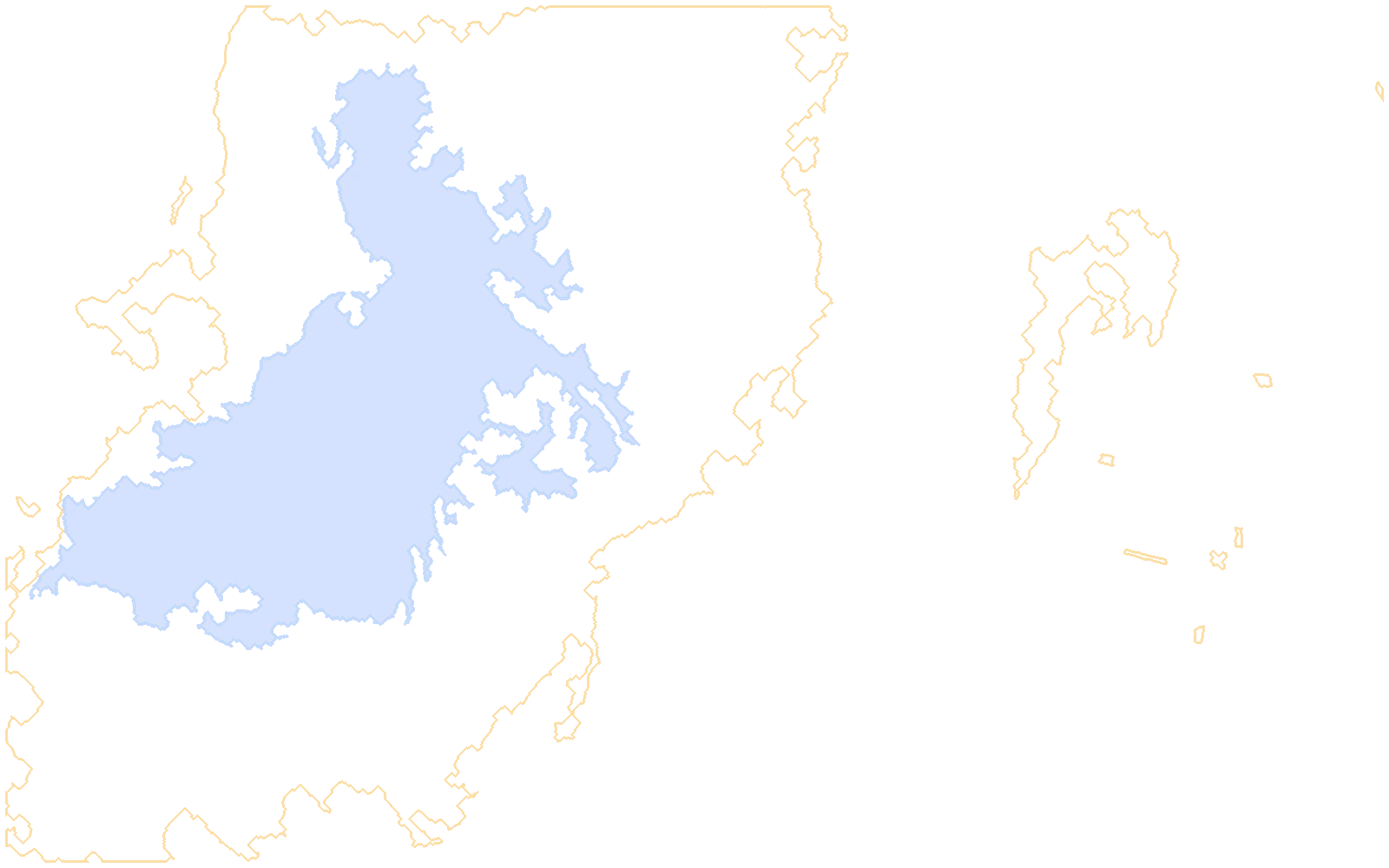
Every layer is public Sentinel-2 or Landsat data over a public 2023 fire. Severity and the patch are computed by a script in this site's repository.
Illustrative
This is not Cascade's client deployment, which stays private. The recommended action is an example of what an analyst would do next.
Each product below works on wildfire and forestry today. Atlas is the engine they share.
Wildfire and natural hazards on the same engines. Deployed in a client environment; only snippets can be shown.
Daily fire risk, hotspots, perimeters and damage, plus biomass and carbon from the same imagery.
The engine under every product: fusion, registration, detection, and an agent on the map.
OpenEdge appliance and sensor node designs for fire camps where the link drops. Designed and simulated.
OpenNumbers from real runs, each with the caveat it needs. Nothing here is a claim the run did not make.
Fire nodes within 5 km in 2 hours, lightning within 3 km in 24 hours, repeat passes. The same rule DefenseScope uses.
With ignition risk, on the incident record.
A design target, in the standard alerting format.
Open any part for the method, the numbers and where to read more.
Mask cloud, water and known heat sources. Gather nearby fire nodes, lightning and repeat passes. Refuse to open an incident on a single piece of evidence. Attach ignition risk and spread. Publish a standard alert.
Each incident carries its record: camera, satellite and node evidence, each with its time.
Public figures on the size of the problem.
Canada's 2023 season burned 17.2 million hectares, the largest on record, and 232,000 people were evacuated.
Source: industry research (Canadian Interagency Forest Fire Centre)A published fusion study found that combining camera, satellite and weather inputs detected fires 13.6% faster.
Source: industry research (Bhamra et al., Remote Sensing, 2023)Wildfire and forestry · Next step
Send an area and a question. I will say what the sensors can and cannot answer before anyone builds anything.