The stack
One basin, seven years.
160 km² of a public oil and gas basin in the southwestern United States, read in 2017 and 2024. There is no oil and gas customer behind this page; it is the same change and compliance engines on public imagery.
Sentinel-2 · Sentinel-1
01 Then
September 2017.
Scrub, dry washes, section roads and a scatter of older pads.
Sentinel-2 L2A true colour · 3 Sep 2017
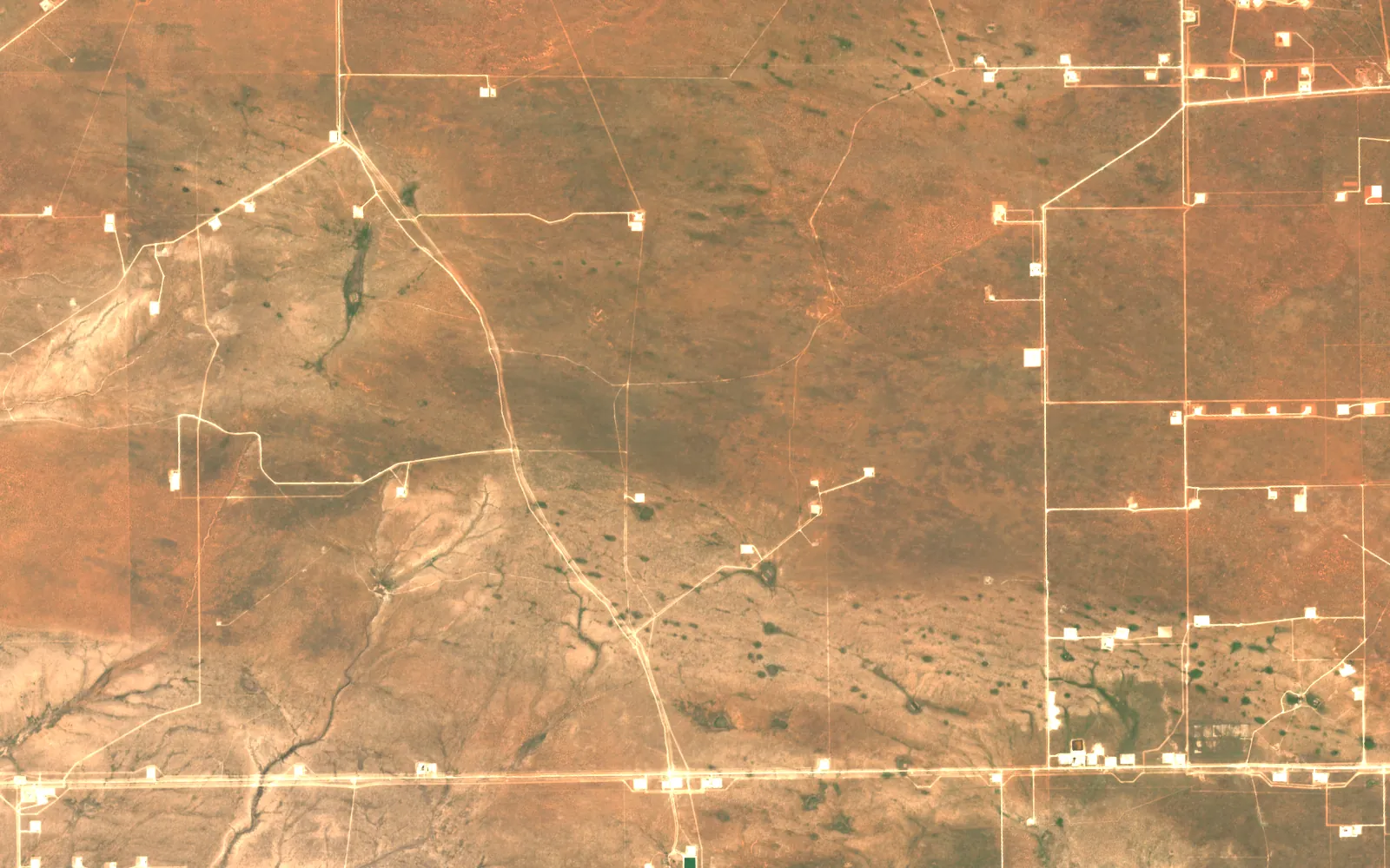
02 Now
September 2024.
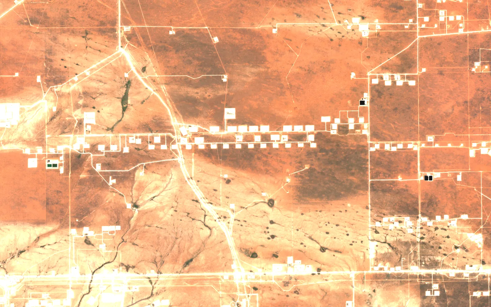
Rows of new pads, the roads that join them, and the cleared strips where lines were laid.
Sentinel-2 L2A true colour · 11 Sep 2024
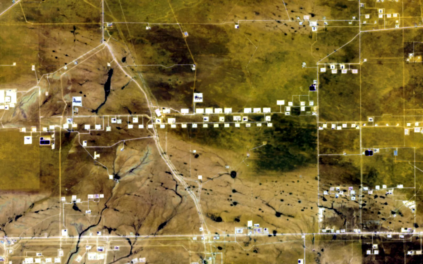
03 Shortwave
Shortwave infrared.
Caliche pads and scraped ground stand out from the desert soil, and wet patches and spills read differently again.
Sentinel-2 bands 12, 11, 2 · 11 Sep 2024
04 Radar
Radar.
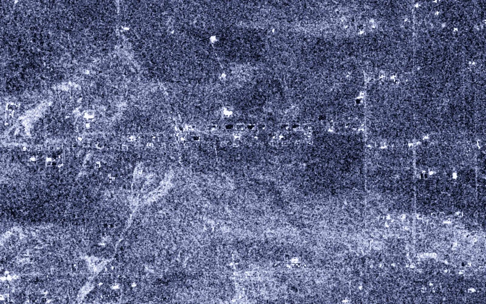
Tanks, separators and rigs are hard corners, so they shine in radar, day or night.
Sentinel-1 RTC, VV · 12 Sep 2024
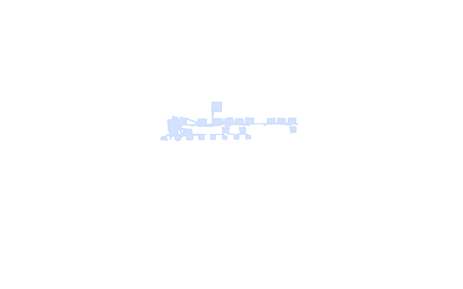
05 Change
What is new.
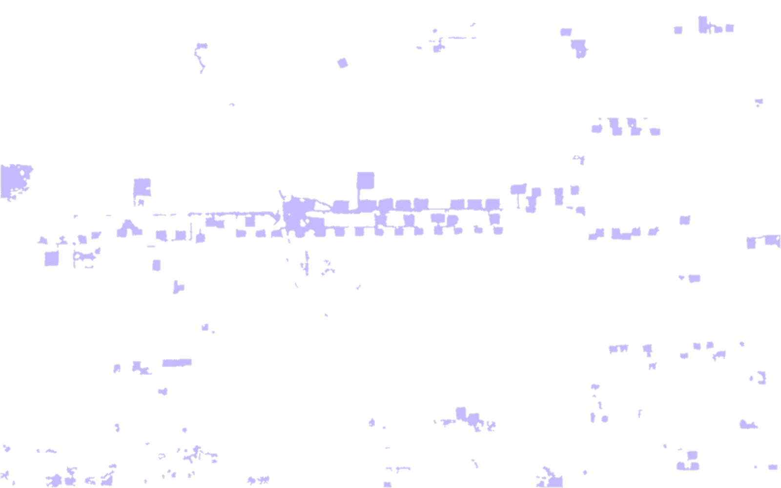
659 ha of new disturbance in 157 polygons, where two of three signals agree: brightness, shortwave and radar.
Computed: two of three signals must agree
06 Shape
Pads and corridors.
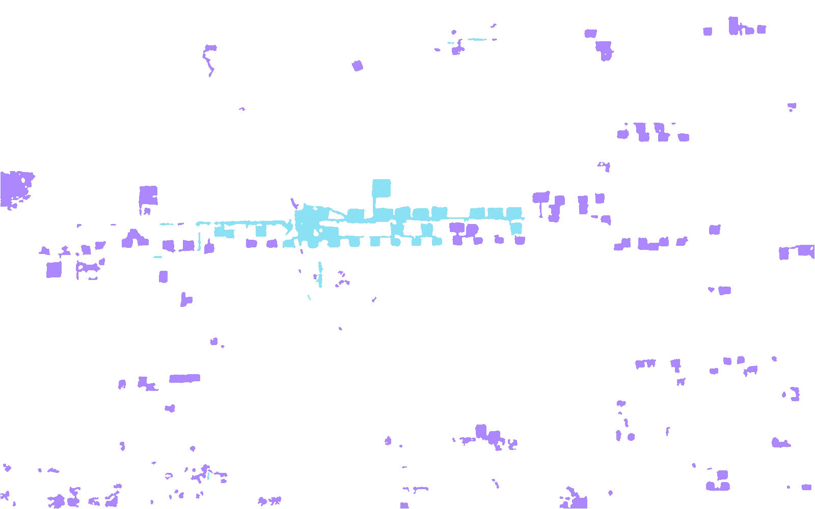
Each polygon is labelled by its shape. 146 are compact, like pads (442 ha). 11 are long and thin, like roads, lines and the pad rows they join (217 ha).
Computed: a shape rule on each polygon, not a trained classifier
07 Decision
Check the longest corridor.
The longest new linear disturbance runs 4.9 km end to end, 182 ha with the pads along it. Recommended action: compare it with the approved right-of-way width and buffer, and with the permitted pad list.
The same check runs on any pipeline right-of-way or corridor