The stack
One county, one season.
Irrigated circles and dry range in southwest Kansas: 160 km² read in May, July and September, by optical and radar.
Sentinel-2 · Sentinel-1
Industry · Agriculture
Crop type, acreage and stress from a season of satellite passes. AgriScope compares each field with fields that grew like it, and a field with weak evidence goes to a person.
37.90° N · 100.92° W · 160 km²
The stack
Irrigated circles and dry range in southwest Kansas: 160 km² read in May, July and September, by optical and radar.
Sentinel-2 · Sentinel-1
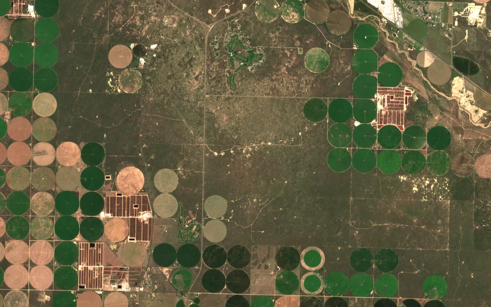
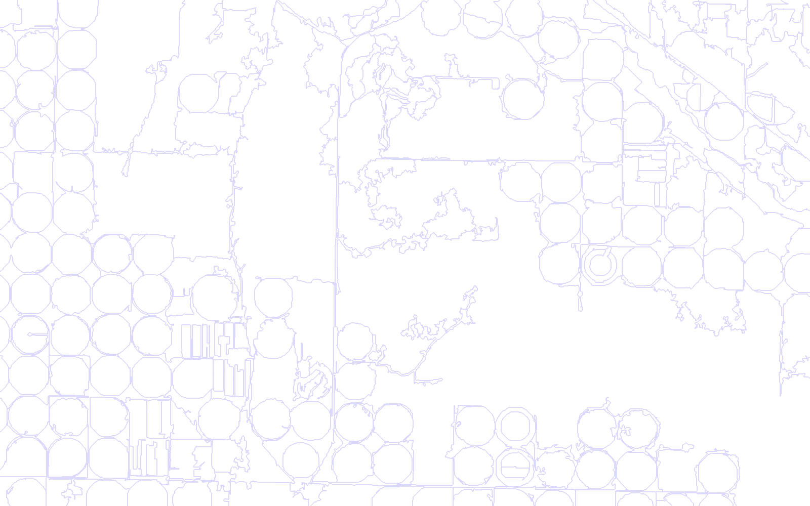
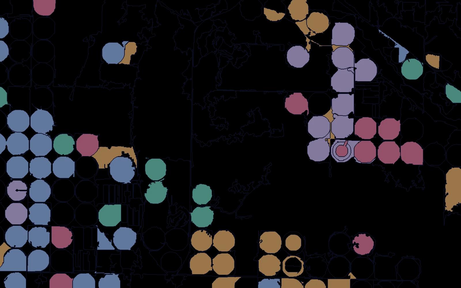
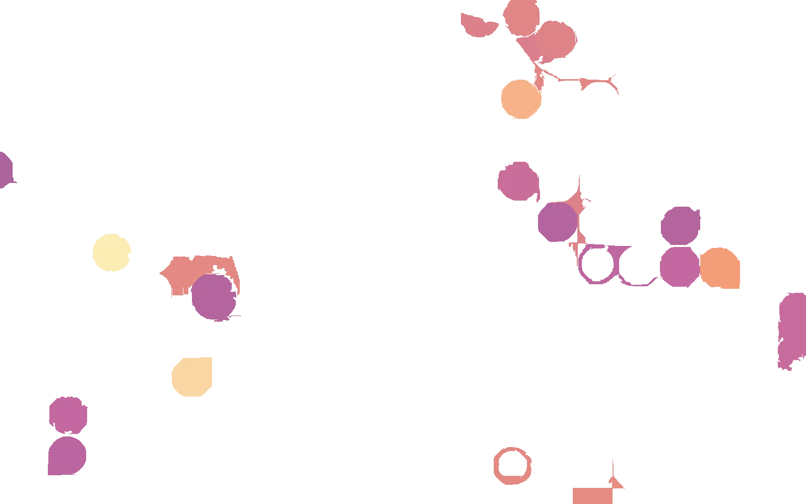
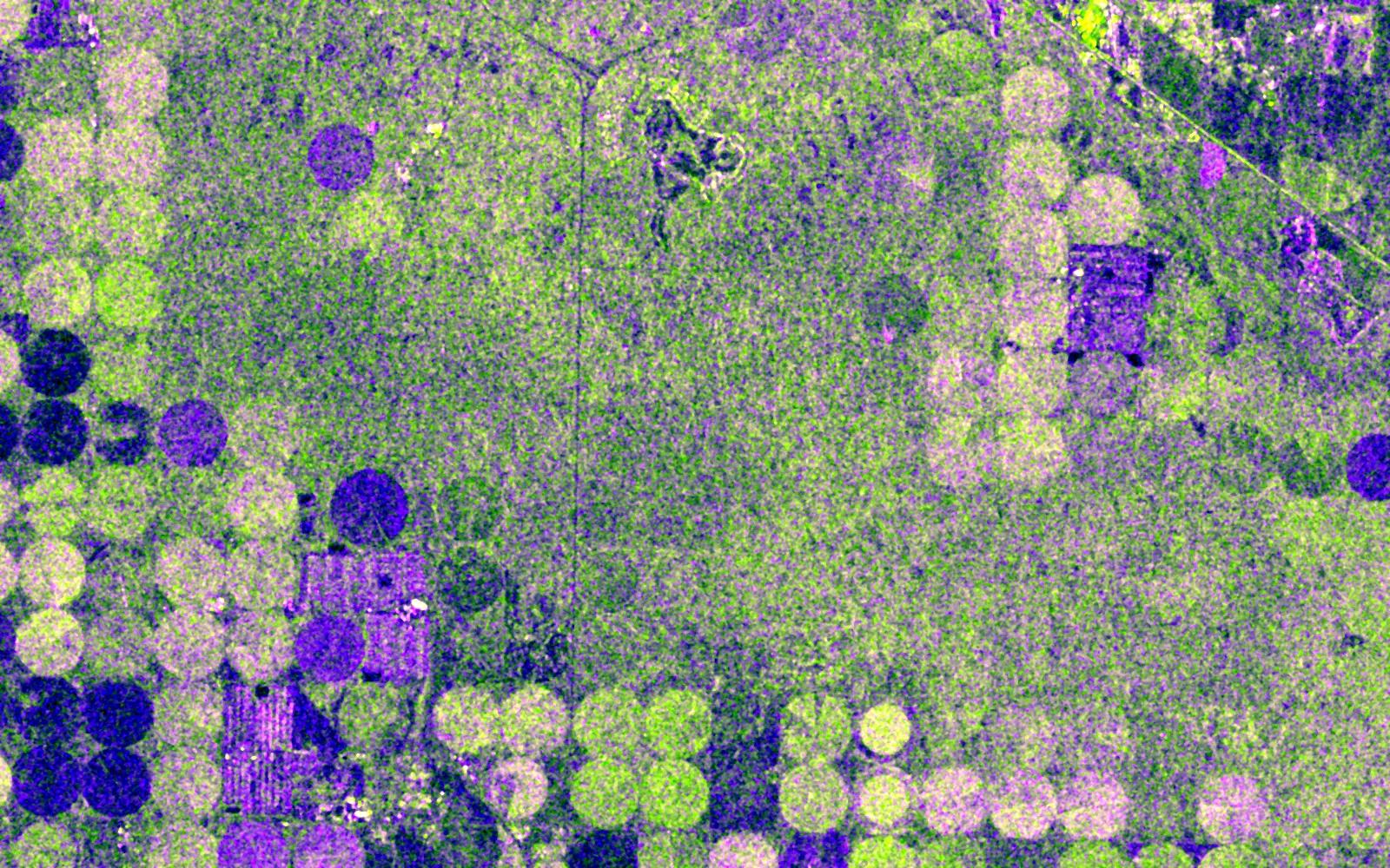 Radar
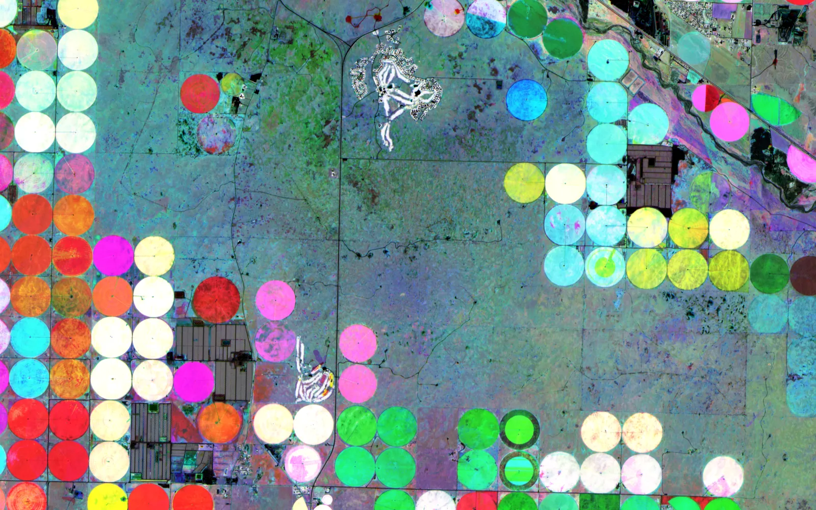 SeasonOptical

Contains modified Copernicus Sentinel data (2024).
Real
Every layer is public satellite data. Fields, groups and stress are computed by a script in this site's repository.
Illustrative
The groups are unsupervised clusters of season curves, not crop labels. The county is a public example, not a client.
Each product below works on agriculture today. Atlas is the engine they share.
Numbers from real runs, each with the caveat it needs. Nothing here is a claim the run did not make.
Five-fold spatial cross-validation on 136 photo-interpreted fields, for a national crop programme.
Segmentation on vegetation imagery against a published baseline at 0.086.
The classical method, kept beside the learned one.
Open any part for the method, the numbers and where to read more.
Where parcel lines are old or missing, fields are drawn from the imagery itself. A segmentation model prompted on vegetation imagery found field shapes with a median IoU of 0.562, and half the fields cleared 0.5.
A classical graph segmentation recovered 90% of field boundaries. The two disagree in useful places, and the disagreement goes to review.
A season of optical and radar features per field, classified into seven crop types. Validation holds out whole areas, not random pixels, so the score is not flattered by neighbours.
Overall accuracy
0.809Kappa
0.755Labels
136 photo-interpreted fieldsAgriculture
Product screens from the cleared bundle. Names and accounts are painted out.
Public figures on the size of the problem.
Saskatchewan insured 37.3 million acres in 2024 to 2025, carrying CA$13.3 billion in liability, with no live satellite view of the field.
Source: industry research (Saskatchewan Crop Insurance annual report)A record CA$2.6 billion drought payout followed the 2021 season.
Source: industry research (Government of Saskatchewan)Agriculture · Next step
Send an area and a question. I will say what the sensors can and cannot answer before anyone builds anything.